


Sargent Voting District, Texas County, Missouri
About
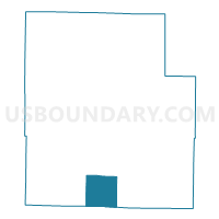
Outline

Summary
| Unique Area Identifier | 611495 |
| Name | Sargent Voting District |
| County | Texas County |
| State | Missouri |
| Area (square miles) | 35.56 |
| Land Area (square miles) | 35.55 |
| Water Area (square miles) | 0.01 |
| % of Land Area | 99.96 |
| % of Water Area | 0.04 |
| Latitude of the Internal Point | 37.08205730 |
| Longtitude of the Internal Point | -91.99923970 |
Maps


Graphs
Select a template below for downloading or customizing gragh for Sargent Voting District, Texas County, Missouri


Neighbors
Neighoring Voting District (by Name) Neighboring Voting District on the Map
- Burdine Voting District, Texas County, MO
- Cass No. 1 Voting District, Texas County, MO
- Pierce Voting District, Texas County, MO
- Willow Springs No. 1 Voting District, Howell County, MO
Top 10 Neighboring County Subdivision (by Population) Neighboring County Subdivision on the Map
- Willow Springs township, Howell County, MO (5,000)
- Burdine township, Texas County, MO (3,336)
- Cass township, Texas County, MO (1,268)
- Pierce township, Texas County, MO (463)
- Sargent township, Texas County, MO (383)